
The PropertyPack Blog
Irish property data, explained.
Plain-English guides to the official records behind an Irish property decision: what each dataset actually says, and what it can't tell you.
More guides
The archive.

BER Rating Before Buying a House in Ireland: What It Costs You
What each BER grade implies for annual heating costs, how Irish BER audits split by grade and county, and what to ask a seller before you bid.
5 October 2026 · 5 min read

Pyrite Remediation Scheme Closes 30 November 2026
The State pyrite scheme stops taking applications on 30 November 2026. Who can still apply, which counties qualify, and what buyers should ask once it shuts.
28 September 2026 · 6 min read

What Does a Solicitor Do When Buying a House in Ireland?
The conveyancing process in Ireland step by step: what your solicitor checks, typical fees and outlays, and the checks no solicitor makes.
21 September 2026 · 7 min read

Questions to Ask When Viewing a House in Ireland
The questions to ask the estate agent at an Irish house viewing, what to look for room by room, and the desk checks to run before you go.
14 September 2026 · 7 min read

What Does a Surveyor Check? Ireland's Pre-Purchase Survey
What an Irish pre-purchase survey covers, the three SCSI survey types, typical €450–€799 costs, and the location checks no surveyor makes.
7 September 2026 · 6 min read

Ireland's House Price Index: CSO Data vs Sold Prices
The CSO house price index and the Property Price Register both track Irish prices but measure different things. Which to trust, and how to read each.
31 August 2026 · 6 min read

Property Price Register Ireland: What It Shows and Hides
Ireland's Property Price Register shows every home sold since 2010, but new-build prices exclude VAT and it omits size and condition. What to trust and check.
25 August 2026 · 6 min read

Flood Zones in Ireland: What A, B and C Mean When Buying
Ireland's flood zones A, B and C explained: how to check any address free on the OPW maps or by Eircode, what the maps can't tell you, and the insurance angle.
24 August 2026 · 7 min read
LPT After the 2026 Revaluation: What Your Next Home Costs Each Year
Ireland's LPT was revalued at 1 November 2025. The 2026–2030 bands, how your council's Local Adjustment Factor moves the bill, and what buyers should check.
17 August 2026 · 7 min read
Mica and Pyrite: How to Check a Property Before You Buy
Which counties are designated under the mica and pyrite schemes, the 30 November 2026 pyrite deadline, and what a data check can and cannot tell you.
17 August 2026 · 8 min read
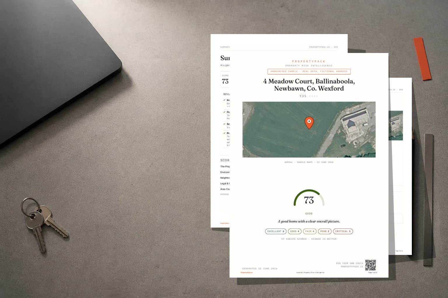
Behind the guides
The same records that power a paid report.
Every figure here reads from the 12 official sources our reports use, so an article can't drift out of date while the product moves on.
How we write these
Every figure traces back
to an official source.
Official records only
Bands, deadlines and designations come from the same 12 government sources our reports use: Revenue, the OPW, the EPA, the SEAI, the CSO and the rest.
Wired to the product
The tables here render from the very same data modules that generate a paid report, so a figure can't quietly go stale in an article while the product moves on.
Limits stated plainly
Where a dataset is only published at county level, we say so rather than implying address-level precision the record doesn't support.
Official data sourced from Irish government agencies