Property Report: Co. Galway
Comprehensive 10-section property risk analysis for Co. Galway, Connacht
Galway, located in Connacht with a population of approximately 277,000+, blends urban centres like Galway City, Tuam, Ballinasloe with surrounding rural communities. This mix of dramatic Connemara highlands means property risks vary significantly across the county. A PropertyPack report for Galway examines 10 key risk categories to help buyers understand exactly what they are purchasing.
Search a Galway Property
Get your personalised property report in minutes
Co. Galway at a Glance
277,000
Connacht
Coastal county
Mixed Urban/Rural
Corrib, Shannon, Clare
Property Risk Overview for Galway
Flood Risk
Galway has 3 major river systems (Corrib, Shannon, Clare) and a coastal boundary, creating both fluvial and coastal flood risk. Low-lying areas near river flood plains require careful assessment. OPW flood maps should be reviewed for any property in Galway.
Radon Risk
Galway's underlying granite geology places it in a higher-risk zone for radon gas. The EPA classifies areas with granite bedrock as more likely to have elevated indoor radon levels. Property buyers in Galway should consider radon testing, and our report flags the EPA zone classification for any address.
Mica & Pyrite
Galway is not among the counties most affected by mica or pyrite defects. However, individual properties may still warrant investigation depending on construction era and materials sourced. Your report includes a defective-block risk indicator for peace of mind.
BER Energy Ratings
BER ratings in Galway vary considerably between newer suburban estates (typically B-rated or better) and older rural dwellings (often D or E rated). Towns like Galway City tend to have better-rated stock than outlying areas. Every PropertyPack report includes the SEAI BER certificate for the property.
Crime Statistics
The Galway Garda division covers Galway, where crime rates are moderate relative to the national average. Urban centres like Galway City see higher activity than surrounding rural areas. PropertyPack includes local crime rate data sourced from CSO and An Garda Siochana.
Planning Activity
Planning activity in Galway is concentrated around towns like Galway City and Tuam, with rural one-off housing applications also significant. County development plan zoning is a key factor. Your report includes nearby planning applications from the local authority.
School Access
Galway has a good spread of schools across its main towns (Galway City, Tuam, Ballinasloe), though rural areas may have more limited post-primary options. Transport links to secondary schools are a practical consideration for families. PropertyPack includes nearby school data.
Water Quality
Water quality in Galway is generally good on public supply, though some areas served by smaller schemes or private wells may require additional checks. Galway City and surrounding areas are on mains supply. Your report flags any water advisories from the EPA or Irish Water.
Broadband Coverage
Broadband coverage in Galway is strong in towns like Galway City and Tuam where FTTH is available, but rural areas may rely on fixed wireless or the National Broadband Plan rollout. Speeds can vary significantly even within the county.
Air Quality
Air quality in Galway is generally good, though towns like Galway City can experience elevated particulate levels during winter months due to solid fuel burning. The EPA monitors air quality at stations in the county. Your report includes the latest air quality index data.
Galway by the Numbers
277,000
Population
Connacht
Province
4
Major Towns
3
Main Rivers
Coastal
Coastline
Mixed Urban/Rural
Character
Towns & Areas in Galway
Properties for Sale in Galway
Latest properties on the market in Co. Galway. Click “Check Risks” to run a PropertyPack report on any listing.
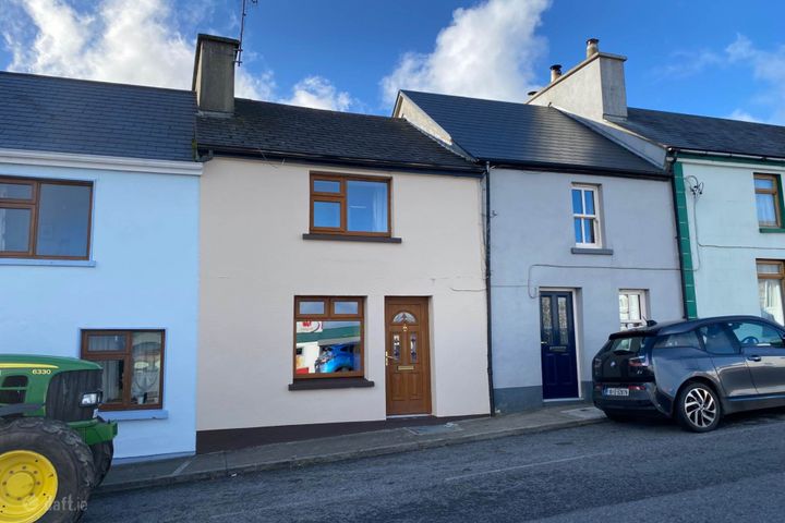
Tully, Renvyle, Co. Galway, H91AEE3
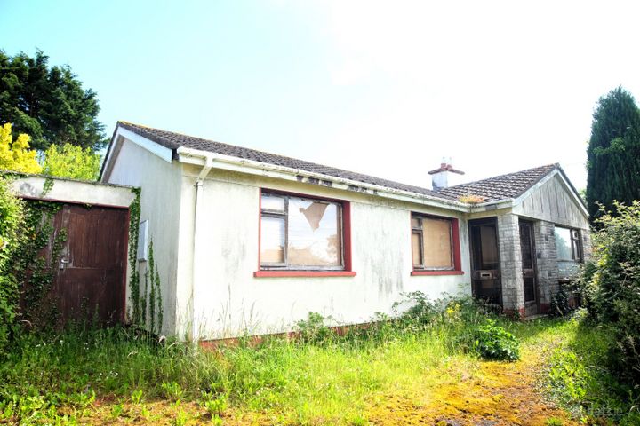
The Hill, Loughrea, Co. Galway, H62NY79

Wallscourt, Kilreekil, Co. Galway, H62XN80
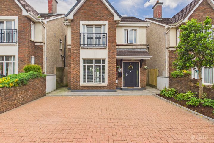
254 Ros Caoin, Roscam, Galway, H91X7KX

8 Ardmore Road, Highfield Park, Shantalla, Galway, H91Y8PE
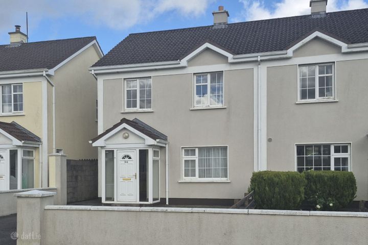
36 The Dales, Moylough, Co. Galway, H53TP29
Galway Property Report FAQs
Galway has both coastal and river flood risk due to its 3 major river systems (Corrib, Shannon, Clare) and shoreline exposure. The OPW maintains detailed flood maps for all areas. A PropertyPack report checks the specific flood zone classification for any Eircode in Galway.
Yes, Galway's granite bedrock makes it a higher-risk area for radon gas according to the EPA. Radon is the second leading cause of lung cancer in Ireland. We recommend radon testing for any property purchase in Galway, and our report indicates whether the address falls within an EPA high radon area.
BER ratings in Galway range widely, with newer estates in Galway City often rated B or better, while older rural dwellings may fall in the D-E range. The national average is a D1 rating. Our report retrieves the property's SEAI BER data where available.
The main environmental considerations for property in Galway include coastal erosion and storm surge, river flooding, elevated radon levels. A comprehensive PropertyPack report analyses all 10 risk categories so you can make an informed decision.
Broadband coverage varies across Galway. Towns like Galway City have access to FTTH and high-speed options, while rural areas may depend on the National Broadband Plan rollout or fixed wireless services. Our report checks connectivity at the property address.
Galway has primary schools in most communities, with post-primary options concentrated in Galway City and Tuam. Rural families may need to factor in school transport. Your PropertyPack report lists the nearest schools by distance and provides key information about each.
A PropertyPack report for Galway analyses 10 risk categories: Flood Risk, Radon Risk, Property Prices, Broadband Coverage, Crime Statistics, Schools, Planning Applications, Air Quality, BER Rating, Transport & Commute. Each category uses official data from government agencies like the OPW, EPA, CSO, and SEAI. Simply paste the listing link for any property in Galway to generate your personalised report.
Getting a property report for any address in Galway is straightforward. Paste the property's Daft.ie or MyHome.ie listing link on this page or on our homepage, choose your plan, and receive a comprehensive report covering all 10 risk categories. Reports are generated using real-time data from official Irish government sources.
Get Free Galway Property Alerts
We'll send you property risk insights, market updates, and a heads-up before our introductory €29 report price goes up.
No spam. Unsubscribe anytime. We never share your email.
Property Reports for Neighbouring Counties
Check any property in Galway
Paste a Daft.ie or MyHome.ie listing link to get a comprehensive 10-section property risk report for any property in Co. Galway.