About PropertyPack
Where our data comes from, and how it becomes your report.
Official Irish data sources, systematically queried, independently scored, and compiled into a single document of record.
Every PropertyPack report is built on a rigorous methodology: official Irish data sources, systematically queried, independently scored, and compiled into a single document of record.
Start with a free risk snapshot of any Irish home: the full 18-check report is €29.
Our Mission
Making property
risk transparent.
Ireland's property data is scattered across dozens of government websites. Flood maps on one, radon levels on another, planning records somewhere else. Home buyers spend hours piecing it together, or worse, miss critical risks entirely.
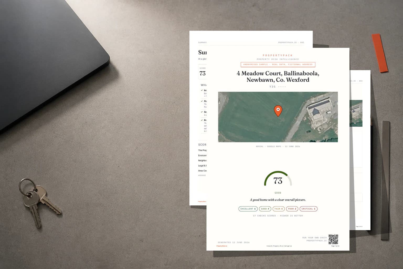
PropertyPack was built to solve this. We aggregate official data sources into a single, comprehensive report that anyone can understand, generated in minutes from just an Eircode or a listing link.
The Whole Picture
Scattered records, one report.
18 official checks, pulled from Ireland's government data sources and compiled into a single document you can read in minutes.
18 Risk Categories
The Ledger of Risk.
Every property is assessed against 18 distinct risk categories, each sourced from official Irish government and public databases.
Flood Risk
OPW floodinfo.ie
Radon Risk
EPA
BER Rating
SEAI
Property Prices
Property Price Register
Planning Applications
Local Authority
Broadband Coverage
ComReg
Schools
Dept of Education
Crime Statistics
CSO
Air Quality
EPA
Noise Levels
EPA
Geology & Subsidence
GSI
Coastal Erosion
OPW / GSI
Mica & Pyrite
gov.ie DCB Scheme / Pyrite Resolution Board
Transport & Commute
NTA / TFI
Healthcare Access
HSE
Local Property Tax
Revenue.ie
Insurance & Carrying Cost
Synthesised (BER + LPT + Flood + Coastal + Radon)
Neighbourhood & Lifestyle
CSO SAPS + Google Places + Sport Ireland
18
Risk Checks
2-3 min
Report Time
26
Counties Covered
Methodology
How your report is built.
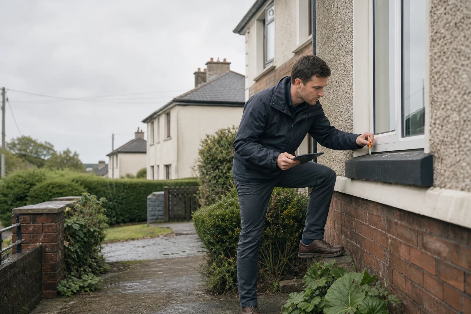
Four stages turn an Eircode into a document of record: collect, verify, analyse, report. Every figure is cited to its official source.
Collect
Your Eircode is resolved to precise coordinates and matched against official Irish government and public databases simultaneously.
Verify
Every data point is cross-referenced against source records to ensure accuracy and currency of information.
Analyse
Each data point is assessed against standardised risk thresholds to produce clear Low / Medium / High ratings.
Report
All findings are compiled into a professional PDF report with source citations, maps, and contextual analysis.
Official data sourced from Irish government agencies












Trust & Privacy
Our commitment.
GDPR Compliant
We are fully compliant with EU GDPR regulations. Your data is handled with the utmost care and transparency.
Your Data, Your Control
We never sell your personal data. Property search data is only used to generate your reports and improve our service.
Secure Infrastructure
All data is encrypted in transit and at rest. Our infrastructure is hosted on enterprise-grade cloud platforms with industry-standard security.
Transparent Practices
We believe in full transparency. Our data sources, methodology, and privacy practices are openly documented so you can verify every aspect of our service.
Read our full Privacy Policy and Terms of Service for complete details.