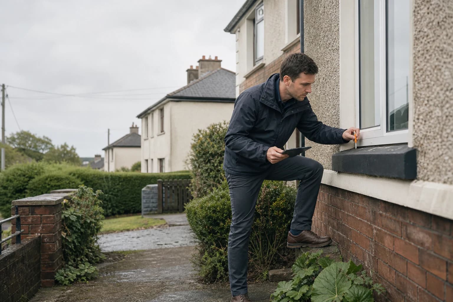
Radon risk in Ireland, for the area around that house.
The EPA radon classification for the area around any Eircode, plus 17 more official checks. Free snapshot in about a minute, full report €29.
Free snapshot in about a minute. Full 18-check report €29, no account needed.
Official data sourced from Irish government agencies












Risk Overview
How do I know if my house is in a high radon area?
The EPA’s radon map classifies every part of Ireland by the share of homes predicted to be above the Reference Level of 200 Bq/m³. A High Radon Area is anywhere more than 1 in 10 homes is predicted to be above it. Enter an Eircode on the EPA’s map, or get the EPA classification for the address inside a PropertyPack report. Radon varies house to house, so the EPA recommends testing any home regardless of the area’s classification.
18 Checks · 12 Gov Sources · €29
One report, 18 checks, €29.
The EPA radon classification for this Eircode's area, and what it means for the house, are in the full report. Free snapshot in about a minute, the complete PDF for €29.
14 The Willows, Blackrock, Co. Dublin
A94 T2F9 · Free risk snapshot
What you get: one full dossier
Every official record on a single Irish home, gathered into one report you own. Pay per property, never a subscription.
What it checks: 18 official checks
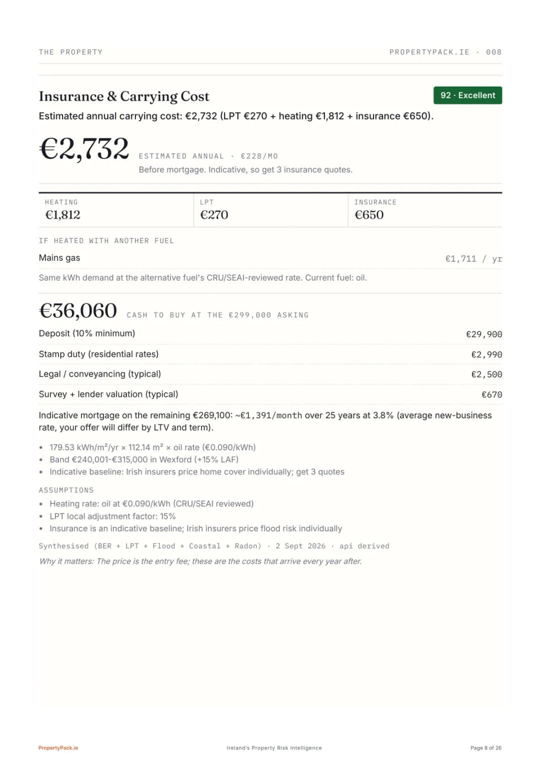
Flood, radon, BER, planning and sold prices, plus 13 more, drawn from 12 government sources (OPW, EPA, SEAI, CSO, the Property Price Register and beyond) with every figure cited to its source.
What it costs: free, then €29
A full risk snapshot for any Eircode in about a minute, no card and no account. The complete report is €29, one property, one-off, delivered as a PDF in 2-3 minutes.
Single Report
ONE-OFF · ONE PROPERTY · PDF IN 2-3 MINUTES
- All 18 checks, full PDF
- Flood, radon, BER & planning maps
- Comparable sold prices (PPR)
- Buyer's notes & viewing checklist
- No account needed, secured by Stripe
Why buyers check first
The old way costs €2,000+ in fees before you find the dealbreaker. Reading the file first costs nothing, and the full dossier is €29, once. Never a subscription.
Specification
18 checks.
Every report. Every time.
Flood Risk
OPW
02Radon Risk
EPA
In the full report03BER Rating
SEAI
04Property Prices
Price Register
05Planning Applications
Local Authority
06Broadband Coverage
ComReg
07Schools
Dept. of Ed.
08Crime Statistics
CSO
09Air Quality
EPA
10Noise Levels
EPA
11Geology & Subsidence
GSI
12Coastal Erosion
OPW / GSI
13Mica & Pyrite
Scheme areas
14Transport & Commute
NTA / TFI
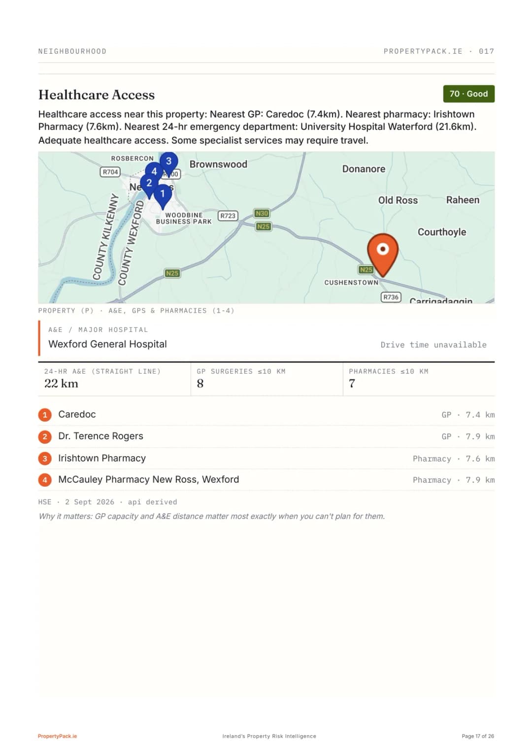
15Healthcare Access
HSE
16Local Property Tax
Revenue
17Insurance & Carrying Cost
Synthesised
18Neighbourhood & Lifestyle
CSO / Places
By The Numbers
Radon Risk across the 26 counties.
5
Higher risk
9
Medium risk
12
Lower risk
How this banding works: counties are grouped by the share of homes tested that measured at or above the 200 Bq/m³ Reference Level in the EPA's published results (to end-2019), relative to the national share of 14.1% of homes tested. Testing was promoted hardest in known high-radon areas, so these are shares of homes tested, not of all homes, and radon varies house to house. Enter an Eircode for the EPA classification at address level.
By County
Radon Risk
across Ireland.
Higher risk counties (5)
fertile lowlands along the River Barrow with the Blackstairs Mountains to the east
dramatic Connemara highlands, Aran Islands, and the shores of Galway Bay
Atlantic bogs, Croagh Patrick, Clew Bay and the remote Mullet Peninsula
limestone plateaus around Benbulben, Lough Gill and Atlantic surfing beaches
Comeragh Mountain uplands descending to a long south-east coastline
Medium risk counties (9)
Atlantic coastline, the Burren karst landscape, and the Cliffs of Moher
long stretches of coastline, wide river valleys and inland mountain ranges
mountain peninsulas including the Iveragh and Dingle, with extensive Atlantic coastline
rich agricultural lowlands with medieval heritage along the River Nore
low-lying midlands with extensive bogland and the shores of Lough Ree
Shannon-side lowlands with lakes, bogs, and pastoral farmland
Golden Vale farmland, the Galtee and Silvermine Mountains, and Lough Derg
sunny south-east coastline with the Blackstairs Mountains inland
mountain uplands and wooded glens around Wicklow Mountains National Park and Glendalough

From County to Address
County banding is a start. Check the actual property.
County risk levels are relative. Enter an Eircode for the radon risk at a specific address, alongside the rest of the 18 official checks.
All Risk Categories
Other property
risk checks.
Flood Risk
flood zone mapping and historical flooding data
Property Prices
recent sale prices and market trends
Broadband Coverage
available internet speeds and providers
Crime Statistics
local crime rates and safety data
Schools
primary and secondary school information
Planning Applications
recent and pending planning applications
Air Quality
air pollution levels and monitoring data
BER Rating
building energy rating and efficiency data
Transport & Commute
public transport access and drive-time commute data
Mica & Pyrite
defective concrete block (mica and pyrite) risk and grant-scheme designations
Every guide on this page is one of the 18 checks in the full property report for any Irish Eircode. See all of them together on the sample report.
The Range
Pay per property.
Never a subscription.
Single Report
ONE-OFF · ONE PROPERTY
- All 18 checks, full PDF
- Flood, radon, BER & planning maps
- Comparable sold prices (PPR)
- Buyer's notes & viewing checklist
House Hunter
3 REPORTS · €19.67 EACH · NEVER EXPIRE
- Everything in Single Report
- Check every serious contender
- Credits never expire
- Save €28 vs single reports
Serious Buyer
5 REPORTS · €15.80 EACH
- Everything in House Hunter
- For buyers viewing every weekend
- Best value per report
- Save €66 vs single reports
One-off payments · Secured by Stripe · Nothing to cancel
Radon Risk FAQ
Frequently asked questions.
Is radon a problem in Ireland?
Yes. Radon is linked to around 350 lung cancer cases in Ireland each year, the second biggest cause after smoking. In EPA measurements to end-2019, 14.1% of homes tested nationally were at or above the Reference Level of 200 Bq/m³, and the EPA's 2022 radon map predicts about 170,000 homes above that level. Testing skewed toward known high-radon areas, so measured shares describe homes tested, not all homes. The EPA recommends testing any home regardless of area.
How much does a radon test cost in Ireland?
A standard radon test kit from the EPA costs approximately €52 and involves placing detectors in your home for at least three months. Professional measurement services from accredited providers are also available. PropertyPack reports include the EPA's radon risk classification for your specific Eircode.
Can radon levels in a home be fixed?
Yes. Remediation measures such as a radon sump (active sub-floor depressurisation) can reduce indoor radon by up to 90%, typically costing €800 to €1,500. New buildings must include radon preventive measures under the Building Regulations.
How do I check radon risk for a specific property?
Enter the property's Eircode on PropertyPack.ie. Your report covers EPA radon level estimates and zone classifications along with the rest of its 18 official checks. Reports use official government data, and the free snapshot is ready in about a minute.
Does the report measure radon inside the house?
No. Radon can only be measured with a detector inside the home over about three months. The report gives the EPA classification for the area around the Eircode, which is how buyers and solicitors decide whether to ask for a test or a radon barrier before they bid.
Is a high radon area a dealbreaker?
Rarely on its own. It changes the questions you ask: has the house been tested, does it have a barrier or sump, and what would remediation cost. The report gives you the area risk and those questions.
Do I need an account?
No. Enter the Eircode, get the free snapshot in about a minute, and pay €29 for the full report as a guest. If you are checking several houses, a pack of 3 reports costs €59 with a free account.