Property Report: Co. Kildare
Comprehensive 10-section property risk analysis for Co. Kildare, Leinster
Kildare, located in Leinster with a population of approximately 247,000+, blends urban centres like Naas, Newbridge, Maynooth with surrounding rural communities. This mix of flat fertile plains of the Curragh with the Bog of Allen to the west means property risks vary significantly across the county. A PropertyPack report for Kildare examines 10 key risk categories to help buyers understand exactly what they are purchasing.
Search a Kildare Property
Get your personalised property report in minutes
Co. Kildare at a Glance
247,000
Leinster
Inland county
Mixed Urban/Rural
Liffey, Barrow
Property Risk Overview for Kildare
Flood Risk
As an inland county, Kildare's flood risk centres on its 2 river systems (Liffey, Barrow). Development near watercourses in towns like Naas warrants careful flood-zone review. Historical flood event data is included in every PropertyPack report.
Radon Risk
Kildare's geology is generally not associated with elevated radon levels, though localised pockets can still occur. The EPA recommends testing in all Irish homes regardless of area classification. Your PropertyPack report includes the radon high-risk area status for the specific property location.
Mica & Pyrite
Kildare has been identified as an area with pyrite-related structural damage in some housing developments. The Pyrite Resolution Board provides remediation for affected homes. A PropertyPack report includes checks against known affected estates and geological indicators.
BER Energy Ratings
BER ratings in Kildare vary considerably between newer suburban estates (typically B-rated or better) and older rural dwellings (often D or E rated). Towns like Naas tend to have better-rated stock than outlying areas. Every PropertyPack report includes the SEAI BER certificate for the property.
Crime Statistics
The Kildare Garda division covers Kildare, where crime rates are moderate relative to the national average. Urban centres like Naas see higher activity than surrounding rural areas. PropertyPack includes local crime rate data sourced from CSO and An Garda Siochana.
Planning Activity
Planning activity in Kildare is concentrated around towns like Naas and Newbridge, with rural one-off housing applications also significant. County development plan zoning is a key factor. Your report includes nearby planning applications from the local authority.
School Access
Kildare has a good spread of schools across its main towns (Naas, Newbridge, Maynooth), though rural areas may have more limited post-primary options. Transport links to secondary schools are a practical consideration for families. PropertyPack includes nearby school data.
Water Quality
Water quality in Kildare is generally good on public supply, though some areas served by smaller schemes or private wells may require additional checks. Naas and surrounding areas are on mains supply. Your report flags any water advisories from the EPA or Irish Water.
Broadband Coverage
Broadband coverage in Kildare is strong in towns like Naas and Newbridge where FTTH is available, but rural areas may rely on fixed wireless or the National Broadband Plan rollout. Speeds can vary significantly even within the county.
Air Quality
Air quality in Kildare is generally good, though towns like Naas can experience elevated particulate levels during winter months due to solid fuel burning. The EPA monitors air quality at stations in the county. Your report includes the latest air quality index data.
Kildare by the Numbers
247,000
Population
Leinster
Province
5
Major Towns
2
Main Rivers
Inland
Coastline
Mixed Urban/Rural
Character
Towns & Areas in Kildare
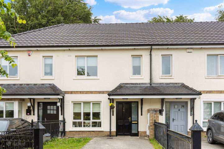
Properties for Sale in Kildare
Latest properties on the market in Co. Kildare. Click “Check Risks” to run a PropertyPack report on any listing.
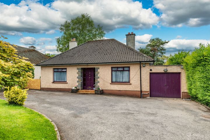
Tullyhaw, Kilcullen Road, Naas, Co. Kildare, W91R62H
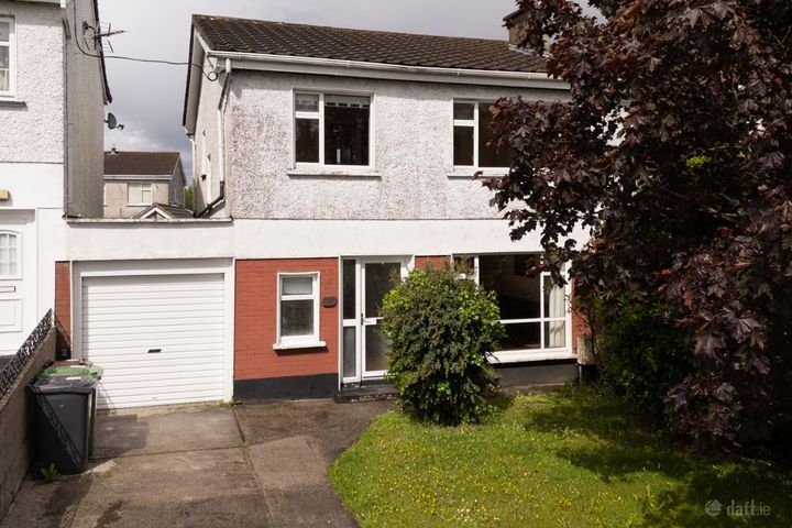
151 Moorefield Park, Newbridge, Newbridge, Co. Kildare, W12H...

Hillview, Maddenstown, Co. Kildare, R56NA49
11 Rheban Avenue, Athy, Athy, Co. Kildare, R14V500
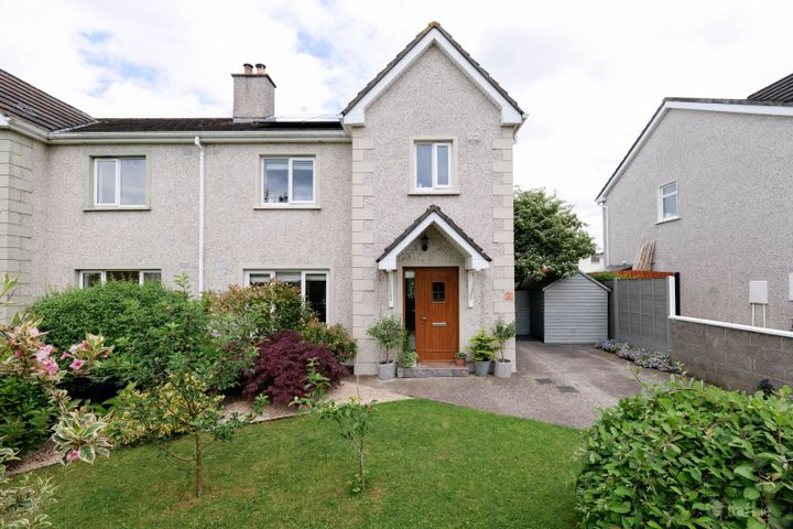
5 The Beeches, Priory Court, Kildare, Co. Kildare, R51AT18
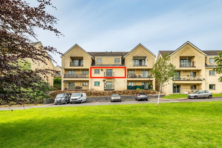
29 Kilmalum Avenue, Blessington Manor, Blessington, Co. Kild...
Kildare Property Report FAQs
Kildare is an inland county, so coastal flooding is not a concern. However, the Liffey and Barrow rivers can cause fluvial flooding in low-lying areas, particularly during prolonged heavy rainfall. Our report includes OPW flood zone data for the specific address.
Kildare is generally classified as a lower-risk area for radon by the EPA, as its geology is not predominantly granite-based. However, the EPA recommends testing all Irish homes regardless of location, as localised high readings can occur anywhere. Your PropertyPack report includes the radon zone classification.
BER ratings in Kildare range widely, with newer estates in Naas often rated B or better, while older rural dwellings may fall in the D-E range. The national average is a D1 rating. Our report retrieves the property's SEAI BER data where available.
The main environmental considerations for property in Kildare include river flooding, pyrite damage in some developments. A comprehensive PropertyPack report analyses all 10 risk categories so you can make an informed decision.
Broadband coverage varies across Kildare. Towns like Naas have access to FTTH and high-speed options, while rural areas may depend on the National Broadband Plan rollout or fixed wireless services. Our report checks connectivity at the property address.
Kildare has primary schools in most communities, with post-primary options concentrated in Naas and Newbridge. Rural families may need to factor in school transport. Your PropertyPack report lists the nearest schools by distance and provides key information about each.
A PropertyPack report for Kildare analyses 10 risk categories: Flood Risk, Radon Risk, Property Prices, Broadband Coverage, Crime Statistics, Schools, Planning Applications, Air Quality, BER Rating, Transport & Commute. Each category uses official data from government agencies like the OPW, EPA, CSO, and SEAI. Simply paste the listing link for any property in Kildare to generate your personalised report.
Getting a property report for any address in Kildare is straightforward. Paste the property's Daft.ie or MyHome.ie listing link on this page or on our homepage, choose your plan, and receive a comprehensive report covering all 10 risk categories. Reports are generated using real-time data from official Irish government sources.
Get Free Kildare Property Alerts
We'll send you property risk insights, market updates, and a heads-up before our introductory €29 report price goes up.
No spam. Unsubscribe anytime. We never share your email.
Property Reports for Neighbouring Counties
Check any property in Kildare
Paste a Daft.ie or MyHome.ie listing link to get a comprehensive 10-section property risk report for any property in Co. Kildare.