Property Report: Co. Dublin
Comprehensive 10-section property risk analysis for Co. Dublin, Leinster
Dublin, Ireland's most urbanised county with a population exceeding 1.45 million, presents a complex range of property risk factors shaped by high-density development and significant infrastructure demands. Situated in Leinster, Dublin's Ireland's capital region create both opportunities and challenges for property buyers. Our comprehensive PropertyPack report covers 10 critical risk categories tailored to Dublin's unique urban environment.
Search a Dublin Property
Get your personalised property report in minutes
Co. Dublin at a Glance
1,450,000
Leinster
Coastal county
Urban
Liffey, Dodder, Tolka
Property Risk Overview for Dublin
Flood Risk
Dublin has 3 major river systems (Liffey, Dodder, Tolka) and a coastal boundary, creating both fluvial and coastal flood risk. Urban storm-water drainage capacity is a particular concern in built-up areas. OPW flood maps should be reviewed for any property in Dublin.
Radon Risk
Dublin's underlying granite geology places it in a higher-risk zone for radon gas. The EPA classifies areas with granite bedrock as more likely to have elevated indoor radon levels. Property buyers in Dublin should consider radon testing, and our report flags the EPA zone classification for any address.
Mica & Pyrite
Dublin has been identified as an area with pyrite-related structural damage in some housing developments. The Pyrite Resolution Board provides remediation for affected homes. A PropertyPack report includes checks against known affected estates and geological indicators.
BER Energy Ratings
Dublin's housing stock benefits from newer construction standards and retrofit programmes, resulting in generally better BER ratings. However, older Georgian and Victorian properties in the city centre may have lower ratings. Your report includes the property's BER certificate details and estimated energy costs.
Crime Statistics
As Ireland's largest population centre, the DMR Garda division records higher absolute crime figures, though per-capita rates vary by neighbourhood. Property crime and anti-social behaviour are more concentrated in specific urban areas. Your report provides CSO crime statistics for the local electoral area.
Planning Activity
Dublin sees high volumes of planning applications across residential, commercial, and infrastructure categories. Large-scale strategic housing developments (SHDs) and Build-to-Rent schemes are common. Your PropertyPack report flags any active or recent planning applications near the property address.
School Access
Dublin offers the widest school choice in Ireland, with hundreds of primary and secondary schools across various patronage models. Gaelscoileanna, Educate Together, and denominational schools are all well represented. Your report lists schools within the catchment area of the property.
Water Quality
Dublin's public water supply is managed by Irish Water, with treatment plants serving the greater Dublin City area. Occasional boil-water notices can affect localised areas. Your report checks for current or recent water quality advisories affecting the property location.
Broadband Coverage
Dublin enjoys comprehensive broadband coverage with FTTH (fibre-to-the-home), cable, and fixed wireless options widely available. Gigabit speeds are accessible in most areas. Your report includes broadband availability data for the specific Eircode.
Air Quality
Air quality in Dublin is monitored by the EPA, with occasional exceedances of PM2.5 and nitrogen dioxide levels in high-traffic areas. The smoky coal ban applies across the county. Your PropertyPack report includes the nearest EPA monitoring station readings and any air quality alerts.
Dublin by the Numbers
1,450,000
Population
Leinster
Province
5
Major Towns
3
Main Rivers
Coastal
Coastline
Urban
Character
Towns & Areas in Dublin
Properties for Sale in Dublin
Latest properties on the market in Co. Dublin. Click “Check Risks” to run a PropertyPack report on any listing.

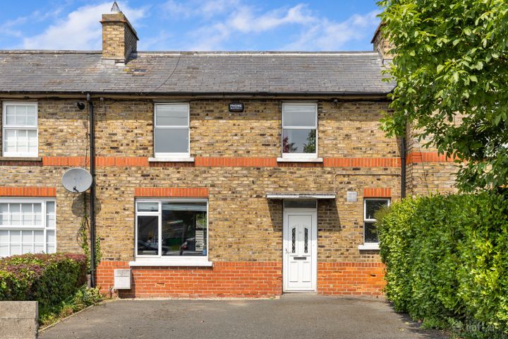
3 Balfe Road East, Dublin 12, Walkinstown, Dublin 12, D12X8R...
16 Sallynoggin Villas, Dun Laoghaire, Co. Dublin, A96W577
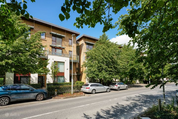
32 Castlegate Way, Adamstown Castle, Adamstown, Co. Dublin...

Apt 16 Marine Walk, Marine Road, Dun Laoghaire, Co. Dublin...
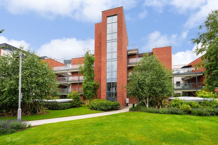
Apartment 23, Ardilaun Court, Raheny, Dublin 5, D05E2P0
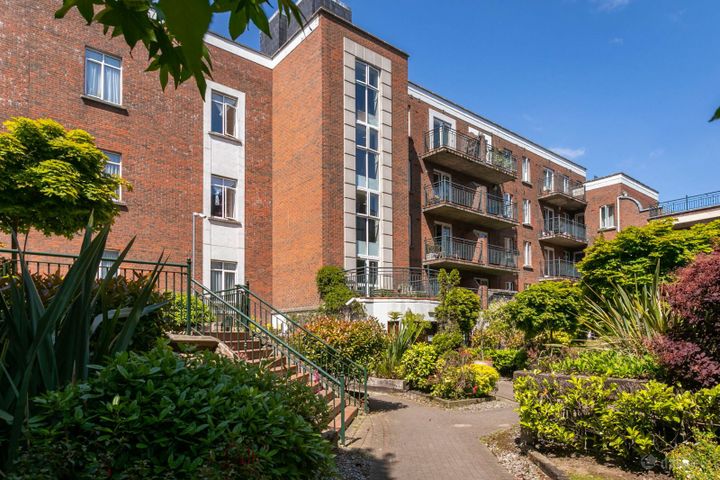
52 Rathmines Town Centre, Rathmines, Dublin 6, D06V103
Dublin Property Report FAQs
Dublin has both coastal and river flood risk due to its 3 major river systems (Liffey, Dodder, Tolka) and shoreline exposure. The OPW maintains detailed flood maps for all areas. A PropertyPack report checks the specific flood zone classification for any Eircode in Dublin.
Yes, Dublin's granite bedrock makes it a higher-risk area for radon gas according to the EPA. Radon is the second leading cause of lung cancer in Ireland. We recommend radon testing for any property purchase in Dublin, and our report indicates whether the address falls within an EPA high radon area.
Dublin has a diverse housing stock, but newer developments typically achieve B-ratings or better. Older properties, particularly pre-1970s builds, may have D or E ratings. SEAI data shows urban areas generally outperform rural counties on average BER. Your PropertyPack report includes the specific BER certificate for the property.
The main environmental considerations for property in Dublin include coastal erosion and storm surge, river flooding, elevated radon levels, pyrite damage in some developments, urban air quality concerns. A comprehensive PropertyPack report analyses all 10 risk categories so you can make an informed decision.
Dublin has excellent broadband infrastructure with FTTH, cable, and mobile broadband widely available. Most addresses can access gigabit-capable connections. Your PropertyPack report includes broadband speed and provider availability for the specific Eircode.
Dublin offers extensive school choice with hundreds of primary and post-primary schools across various patronage models, including Gaelscoileanna, Educate Together, Church of Ireland, and Catholic schools. International schools are also available. Your report maps schools near the property address.
A PropertyPack report for Dublin analyses 10 risk categories: Flood Risk, Radon Risk, Property Prices, Broadband Coverage, Crime Statistics, Schools, Planning Applications, Air Quality, BER Rating, Transport & Commute. Each category uses official data from government agencies like the OPW, EPA, CSO, and SEAI. Simply paste the listing link for any property in Dublin to generate your personalised report.
Getting a property report for any address in Dublin is straightforward. Paste the property's Daft.ie or MyHome.ie listing link on this page or on our homepage, choose your plan, and receive a comprehensive report covering all 10 risk categories. Reports are generated using real-time data from official Irish government sources.
Get Free Dublin Property Alerts
We'll send you property risk insights, market updates, and a heads-up before our introductory €29 report price goes up.
No spam. Unsubscribe anytime. We never share your email.
Property Reports for Neighbouring Counties
Check any property in Dublin
Paste a Daft.ie or MyHome.ie listing link to get a comprehensive 10-section property risk report for any property in Co. Dublin.