Property Report: Co. Laois
Comprehensive 10-section property risk analysis for Co. Laois, Leinster
Laois, a predominantly rural county in Leinster with approximately 91,000 residents, offers a landscape defined by midlands county with the Slieve Bloom Mountains and bog-lands. Property buyers in Laois face specific considerations as an inland county with its own distinct environmental profile. A PropertyPack report for Laois analyses 10 risk categories, from radon levels to broadband availability, giving you the full picture before you commit.
Search a Laois Property
Get your personalised property report in minutes
Co. Laois at a Glance
91,000
Leinster
Inland county
Predominantly Rural
Nore, Barrow
Property Risk Overview for Laois
Flood Risk
As an inland county, Laois's flood risk centres on its 2 river systems (Nore, Barrow). Agricultural land along river banks can be prone to seasonal flooding. Historical flood event data is included in every PropertyPack report.
Radon Risk
Laois's geology is generally not associated with elevated radon levels, though localised pockets can still occur. The EPA recommends testing in all Irish homes regardless of area classification. Your PropertyPack report includes the radon high-risk area status for the specific property location.
Mica & Pyrite
Laois is not among the counties most affected by mica or pyrite defects. However, individual properties may still warrant investigation depending on construction era and materials sourced. Your report includes a defective-block risk indicator for peace of mind.
BER Energy Ratings
Rural housing in Laois frequently features older construction with lower BER ratings, often in the D to G range. Solid-fuel heating and poor insulation are common in pre-2000 builds. Upgrading to a B2 rating can cost between EUR 25,000 and EUR 60,000 depending on the property.
Crime Statistics
Laois, policed by the Laois/Offaly Garda division, benefits from low crime rates typical of rural Irish counties. Community-oriented policing predominates, and most recorded offences relate to property or road traffic. Your report includes the latest CSO crime figures for the area.
Planning Activity
Planning activity in Laois is relatively modest, with applications typically involving rural dwelling houses, agricultural buildings, and small-scale commercial premises. Wind farm and renewable energy applications are increasingly common. Your report checks for nearby planning activity.
School Access
School options in Laois are concentrated in Portlaoise and Mountmellick. Some rural areas rely on school transport services for post-primary education. Your report identifies primary and secondary schools nearest to the property.
Water Quality
Many rural properties in Laois depend on private well water or group water schemes rather than public mains supply. Well water quality can vary and is not always tested regularly. Your PropertyPack report identifies the water supply type and flags any EPA or Irish Water advisories for the area.
Broadband Coverage
Rural broadband remains a challenge in Laois, where many areas are served by the National Broadband Plan rollout. FTTH is available in Portlaoise but coverage drops off quickly in surrounding townlands. Satellite and fixed wireless may be the only options in remote areas.
Air Quality
Laois benefits from excellent air quality, consistent with its rural character and low traffic volumes. Winter solid-fuel burning in towns like Portlaoise may cause localised particulate spikes. EPA monitoring data for the nearest station is included in your report.
Laois by the Numbers
91,000
Population
Leinster
Province
3
Major Towns
2
Main Rivers
Inland
Coastline
Predominantly Rural
Character
Towns & Areas in Laois
Properties for Sale in Laois
Latest properties on the market in Co. Laois. Click “Check Risks” to run a PropertyPack report on any listing.

Ballycorman, Ballylinan, Ballylynan, Co. Laois, R14XE30
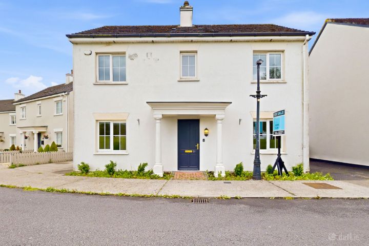
51 Glenkeen Park, Fairgreen Village, Portlaoise, Co. Laois...
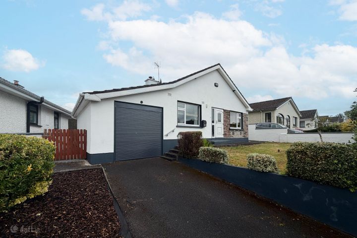
61 Beladd Lower, Beladd, Portlaoise, Co. Laois, R32XN1F
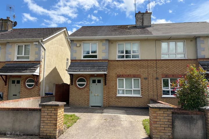
8 The Glen, Kilnacourt Woods, Portarlington, Co. Laois, R32K...
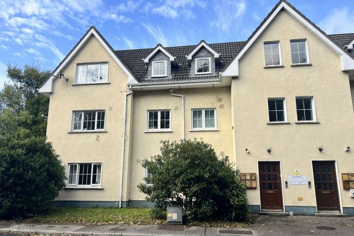
Apartment 3, Block A, The Birches, Kilnacourt Woods, Portarl...

Lea Castle, Lea Road, Portarlington, Co. Laois, R32A6C9
Laois Property Report FAQs
Laois is an inland county, so coastal flooding is not a concern. However, the Nore and Barrow rivers can cause fluvial flooding in low-lying areas, particularly during prolonged heavy rainfall. Our report includes OPW flood zone data for the specific address.
Laois is generally classified as a lower-risk area for radon by the EPA, as its geology is not predominantly granite-based. However, the EPA recommends testing all Irish homes regardless of location, as localised high readings can occur anywhere. Your PropertyPack report includes the radon zone classification.
Rural counties like Laois tend to have lower average BER ratings, often in the D-E range, reflecting older construction methods and solid-fuel heating. Upgrading energy efficiency is a significant cost consideration. Your report includes any available BER certificate data from the SEAI register.
The main environmental considerations for property in Laois include river flooding. A comprehensive PropertyPack report analyses all 10 risk categories so you can make an informed decision.
Broadband can be a challenge in rural Laois. While Portlaoise has fibre coverage, many rural townlands rely on the National Broadband Plan, fixed wireless, or satellite internet. Checking broadband availability is essential before purchasing and is included in every PropertyPack report.
Laois has primary schools in most communities, with post-primary options concentrated in Portlaoise and Mountmellick. Rural families may need to factor in school transport. Your PropertyPack report lists the nearest schools by distance and provides key information about each.
A PropertyPack report for Laois analyses 10 risk categories: Flood Risk, Radon Risk, Property Prices, Broadband Coverage, Crime Statistics, Schools, Planning Applications, Air Quality, BER Rating, Transport & Commute. Each category uses official data from government agencies like the OPW, EPA, CSO, and SEAI. Simply paste the listing link for any property in Laois to generate your personalised report.
Getting a property report for any address in Laois is straightforward. Paste the property's Daft.ie or MyHome.ie listing link on this page or on our homepage, choose your plan, and receive a comprehensive report covering all 10 risk categories. Reports are generated using real-time data from official Irish government sources.
Get Free Laois Property Alerts
We'll send you property risk insights, market updates, and a heads-up before our introductory €29 report price goes up.
No spam. Unsubscribe anytime. We never share your email.
Property Reports for Neighbouring Counties
Check any property in Laois
Paste a Daft.ie or MyHome.ie listing link to get a comprehensive 10-section property risk report for any property in Co. Laois.