Property Report: Co. Limerick
Comprehensive 10-section property risk analysis for Co. Limerick, Munster
Limerick, located in Munster with a population of approximately 209,000+, blends urban centres like Limerick City, Newcastle West, Abbeyfeale with surrounding rural communities. This mix of Shannon estuary lowlands with the Ballyhoura and Galtee Mountains to the south means property risks vary significantly across the county. A PropertyPack report for Limerick examines 10 key risk categories to help buyers understand exactly what they are purchasing.
Search a Limerick Property
Get your personalised property report in minutes
Co. Limerick at a Glance
209,000
Munster
Inland county
Mixed Urban/Rural
Shannon, Maigue, Deel
Property Risk Overview for Limerick
Flood Risk
As an inland county, Limerick's flood risk centres on its 3 river systems (Shannon, Maigue, Deel). Development near watercourses in towns like Limerick City warrants careful flood-zone review. Historical flood event data is included in every PropertyPack report.
Radon Risk
Limerick's geology is generally not associated with elevated radon levels, though localised pockets can still occur. The EPA recommends testing in all Irish homes regardless of area classification. Your PropertyPack report includes the radon high-risk area status for the specific property location.
Mica & Pyrite
Limerick is one of the counties most affected by defective concrete blocks containing muscovite mica. Properties built between 2000 and 2020 may be at risk. The government's Defective Concrete Blocks Grant Scheme covers affected homeowners, but pre-purchase checks are essential.
BER Energy Ratings
BER ratings in Limerick vary considerably between newer suburban estates (typically B-rated or better) and older rural dwellings (often D or E rated). Towns like Limerick City tend to have better-rated stock than outlying areas. Every PropertyPack report includes the SEAI BER certificate for the property.
Crime Statistics
The Limerick Garda division covers Limerick, where crime rates are moderate relative to the national average. Urban centres like Limerick City see higher activity than surrounding rural areas. PropertyPack includes local crime rate data sourced from CSO and An Garda Siochana.
Planning Activity
Planning activity in Limerick is concentrated around towns like Limerick City and Newcastle West, with rural one-off housing applications also significant. County development plan zoning is a key factor. Your report includes nearby planning applications from the local authority.
School Access
School options in Limerick are concentrated in Limerick City and Newcastle West. Some rural areas rely on school transport services for post-primary education. Your report identifies primary and secondary schools nearest to the property.
Water Quality
Water quality in Limerick is generally good on public supply, though some areas served by smaller schemes or private wells may require additional checks. Limerick City and surrounding areas are on mains supply. Your report flags any water advisories from the EPA or Irish Water.
Broadband Coverage
Broadband coverage in Limerick is strong in towns like Limerick City and Newcastle West where FTTH is available, but rural areas may rely on fixed wireless or the National Broadband Plan rollout. Speeds can vary significantly even within the county.
Air Quality
Air quality in Limerick is generally good, though towns like Limerick City can experience elevated particulate levels during winter months due to solid fuel burning. The EPA monitors air quality at stations in the county. Your report includes the latest air quality index data.
Limerick by the Numbers
209,000
Population
Munster
Province
3
Major Towns
3
Main Rivers
Inland
Coastline
Mixed Urban/Rural
Character
Towns & Areas in Limerick
Properties for Sale in Limerick
Latest properties on the market in Co. Limerick. Click “Check Risks” to run a PropertyPack report on any listing.
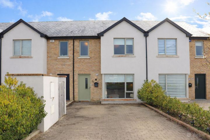
26 Castlebrook Green, Castlebrook Manor, Castletroy, Co. Lim...
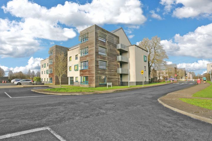
Apartment 123, Brookfield Hall, Castletroy, Co. Limerick, V9...
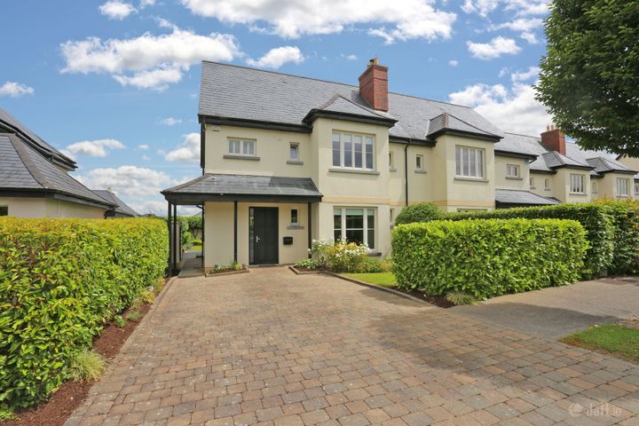
34 The Village, Adare, Limerick, V94VK4R
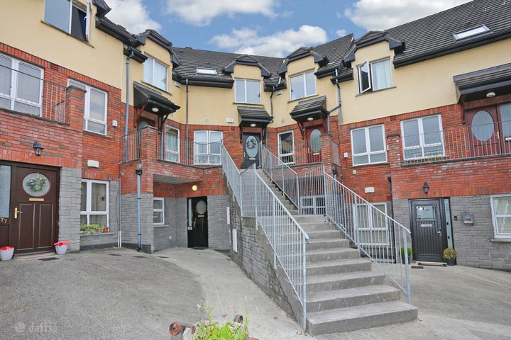
79 Glanntan, Castletroy, Limerick, V94FX31
Limerick Property Report FAQs
Limerick is an inland county, so coastal flooding is not a concern. However, the Shannon and Maigue and Deel rivers can cause fluvial flooding in low-lying areas, particularly during prolonged heavy rainfall. Our report includes OPW flood zone data for the specific address.
Limerick is generally classified as a lower-risk area for radon by the EPA, as its geology is not predominantly granite-based. However, the EPA recommends testing all Irish homes regardless of location, as localised high readings can occur anywhere. Your PropertyPack report includes the radon zone classification.
BER ratings in Limerick range widely, with newer estates in Limerick City often rated B or better, while older rural dwellings may fall in the D-E range. The national average is a D1 rating. Our report retrieves the property's SEAI BER data where available.
The main environmental considerations for property in Limerick include river flooding, mica-affected concrete blocks. A comprehensive PropertyPack report analyses all 10 risk categories so you can make an informed decision.
Broadband coverage varies across Limerick. Towns like Limerick City have access to FTTH and high-speed options, while rural areas may depend on the National Broadband Plan rollout or fixed wireless services. Our report checks connectivity at the property address.
Limerick has primary schools in most communities, with post-primary options concentrated in Limerick City and Newcastle West. Rural families may need to factor in school transport. Your PropertyPack report lists the nearest schools by distance and provides key information about each.
A PropertyPack report for Limerick analyses 10 risk categories: Flood Risk, Radon Risk, Property Prices, Broadband Coverage, Crime Statistics, Schools, Planning Applications, Air Quality, BER Rating, Transport & Commute. Each category uses official data from government agencies like the OPW, EPA, CSO, and SEAI. Simply paste the listing link for any property in Limerick to generate your personalised report.
Getting a property report for any address in Limerick is straightforward. Paste the property's Daft.ie or MyHome.ie listing link on this page or on our homepage, choose your plan, and receive a comprehensive report covering all 10 risk categories. Reports are generated using real-time data from official Irish government sources.
Get Free Limerick Property Alerts
We'll send you property risk insights, market updates, and a heads-up before our introductory €29 report price goes up.
No spam. Unsubscribe anytime. We never share your email.
Property Reports for Neighbouring Counties
Check any property in Limerick
Paste a Daft.ie or MyHome.ie listing link to get a comprehensive 10-section property risk report for any property in Co. Limerick.