House Sales
House Sales in Westmeath
24 official risk checks for any property in Co. Westmeath, from 16 Irish government sources, every figure cited.
Free snapshot. Enter an Eircode and we'll find the property. No card, no account.
Official data sourced from Irish government agencies
















About Westmeath
House Sales in Co. Westmeath
Every completed house sale in Westmeath since 2010 is a public record: the Property Price Register lists the price paid, the sale date and the address for each one. That sold record (not asking prices) is what PropertyPack summarises for Westmeath: the median price, the yearly trend and how many homes actually changed hands. Sales cluster around Athlone, Mullingar, Moate, and the register shows what each one closed for, though never why. A PropertyPack report fills in the why for any Westmeath Eircode: recent sales near the address, plus 24 checks covering flood zone, radon classification, BER and planning history.
Co. Westmeath at a Glance
- Population
- 96,000
- Province
- Leinster
- Coastline
- Inland county
- Character
- Mixed Urban / Rural
- Main Rivers
- Shannon, Brosna, Inny
- Median Price (2026)
- €312,775 (+1.6% YoY)
- Radon (of homes tested)
- 8.3% at/above 200 Bq/m³
- Recorded Flood Events
- 105
- Mica/Pyrite (DCB Scheme)
- Not designated
Sources: Property Price Register (sales to 2026); EPA radon measurements to 2019 (self-selected sample, % of homes tested, not prevalence); past flood events derived from OPW floodinfo.ie data; DCB scheme designations via gov.ie.
What Homes Actually Sold For in Co. Westmeath
Real sale prices declared to Revenue, from 15,428 registered transactions in Co. Westmeath between 2010 and 2026.
Median Sale Price (2026)
€312,775
Full-market-price sales only
Change vs 2025
+1.6%
Median €308,000 in 2025
Sales Registered (2026)
585
All registered transactions
Sales on Record (2010–2026)
15,428
Property Price Register
Latest Registered Sales in Co. Westmeath
| Date | Address | Price |
|---|---|---|
| 7 Aug 2026 | 25 Ballinderry Gardens, Ballinderry Road, Mullingar | €356,828 |
| 6 Aug 2026 | 17 Ballinderry Gardens, Ballinderry Road, Mullingar | €337,350 |
| 6 Aug 2026 | 19 Grange Park, Mullingar, Westmeath | €276,000 |
| 6 Aug 2026 | 25A Radharc An Chuain, Harbour Quay, Mullingar | €226,500 |
| 6 Aug 2026 | 4 Patrick Street, Mullingar, Co Westmeath | €375,000 |
| 6 Aug 2026 | 4 The Close, Lake Point Park Drive, Petitswood Mullingar | €430,000 |
| 4 Aug 2026 | 1 Coola Meadows, Kilbeggan | €343,612 |
| 4 Aug 2026 | 14 Ballinderry Gardens, Ballinderry Road, Mullingar | €337,350 |
| 4 Aug 2026 | 194 Cornamaddy Court, Cornamaddy, Athlone | €352,422 |
| 4 Aug 2026 | 45 Radharc An Mhuilinn, Rathwire, Killucan | €315,000 |
Source: Property Price Register (PSRA), 2010–2026. Prices as declared to Revenue; some entries may contain errors or omissions.
New to the register? what the Property Price Register shows and hides (including why new-build prices look low), and how the CSO price index differs from these sold prices.
24
Official Risk Checks
16
Government Data Sources
Free
Snapshot in about a minute
26
Counties Covered
What We Check
Every Westmeath property, 24 checks.
Flood Risk
Environmental
02Radon Risk
Environmental
03BER Rating
Energy
04Property Prices
Financial
05Planning Applications
Development
06Broadband Coverage
Infrastructure
07Schools
Amenities
08Crime Statistics
Safety
09Air Quality
Environmental
10Noise Levels
Environmental
11Geology & Subsidence
Structural
12Coastal Erosion
Environmental
13Mica & Pyrite
Structural
14Transport & Commute
Infrastructure
15Healthcare Access
Amenities
16Local Property Tax
Financial
17Insurance & Carrying Cost
Financial
18Neighbourhood & Lifestyle
Area Profile
19Protected Structures & Monuments
Development
20Knotweed & Giant Hogweed
Environmental
21Buying Costs & Schemes
Financial
22Water & Sewerage
Infrastructure
23Industry & Land Use Nearby
Environmental
24Planned Infrastructure Nearby
Development
Every check cites its official source on the page. See each one in a real, anonymised report: the sample report.
Due Diligence
Know the risks before you sign in Westmeath.
See what's selling in Westmeath. Free snapshot, 24 checks from 16 official sources. No card, no account.
Properties for Sale in Westmeath
Latest properties on the market in Co. Westmeath. Click “Check Risks” to run a PropertyPack report on any listing.
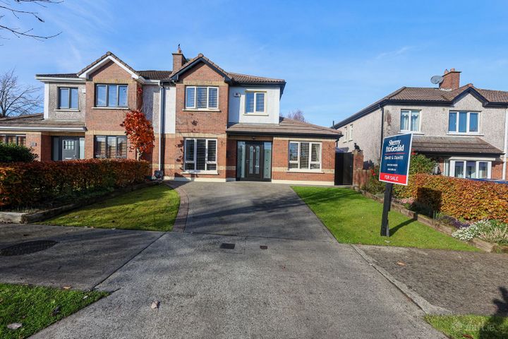
4 The Crescent, Lakepoint Park, Mullingar, Co. Westmeath, N9...
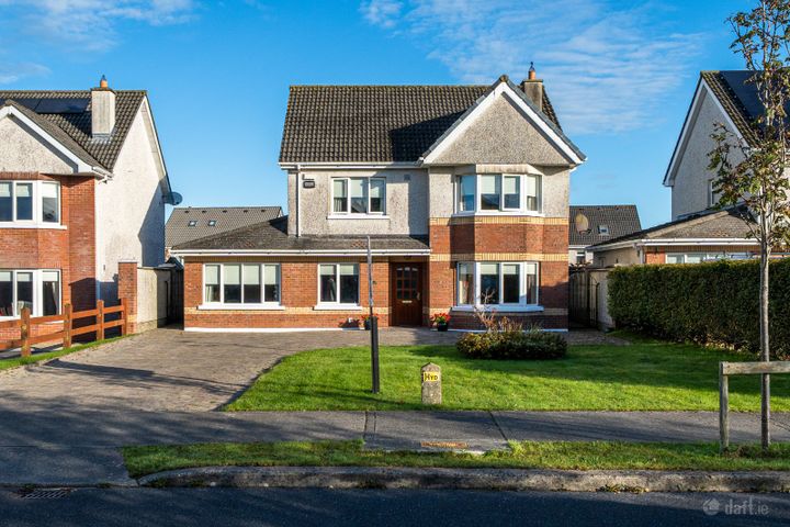
46 Gleann Petit Drive, Mullingar, Co. Westmeath, N91W7WR
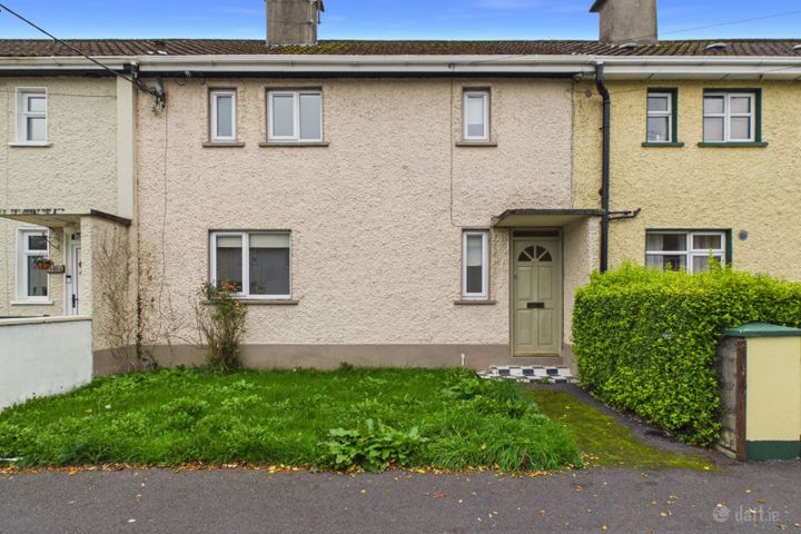
52 Ginnell Terrace, Mullingar, Co. Westmeath, N91N8W8
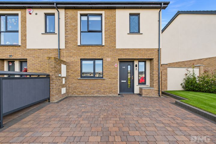
149 Greville Park, Mullingar, Co. Westmeath, N91KT6W
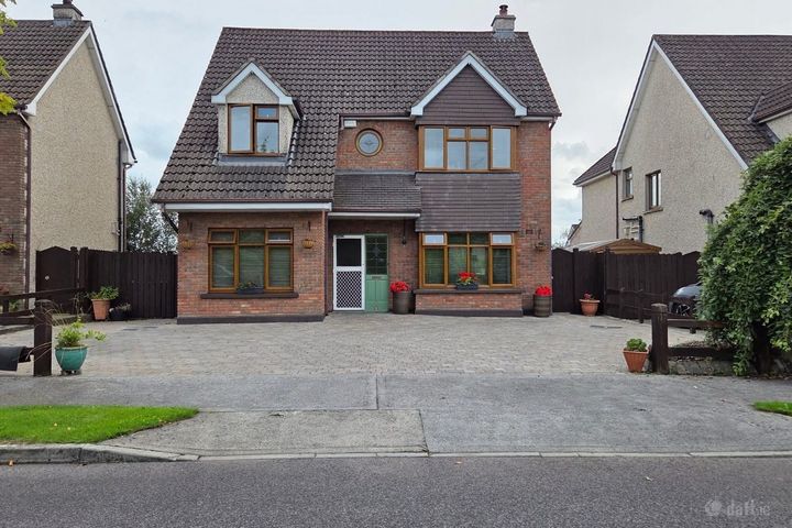
8 Petitswood Manor, Mullingar, Co. Westmeath, N91P9T0
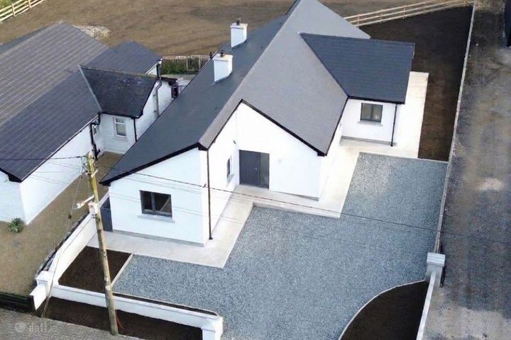
Trim Road, Kinnegad, Co. Westmeath
Frequently Asked Questions
House Sales in Westmeath: FAQs
What does a PropertyPack report cover for Westmeath properties?
24 checks for the Eircode you enter: Flood Risk, Radon Risk, BER Rating, Property Prices, Planning Applications, Broadband Coverage, Schools, Crime Statistics, Air Quality, Noise Levels, Geology & Subsidence, Coastal Erosion, Mica & Pyrite, Transport & Commute, Healthcare Access, Local Property Tax, Insurance & Carrying Cost, Neighbourhood & Lifestyle, Protected Structures & Monuments, Knotweed & Giant Hogweed, Buying Costs & Schemes, Water & Sewerage, Industry & Land Use Nearby and Planned Infrastructure Nearby. They draw on 16 official Irish sources, including the OPW, EPA, SEAI, CSO and the Property Price Register, and every check card cites its source. Where a dataset is only published at county or Garda-division level, the report labels that confidence level.
How much does a property report for Westmeath cost?
The full 24-check PDF report for any Westmeath address costs €49. House-hunting across several properties? A 3-report bundle is €99 and a 5-report bundle is €129. You see a free snapshot first, no card needed.
What should I check before buying property in Westmeath?
Before committing to property in Westmeath, check flood risk (especially near Shannon, Brosna and Inny), radon levels (8.3% of homes tested in Westmeath over the Reference Level), BER rating (affects heating costs), broadband speed, local crime statistics, nearby schools, recent planning applications, protected structure records and whether the house is on a public sewer or a septic tank. PropertyPack covers these and more, 24 checks in a single report for any Eircode.
How do I find out what a house sold for in Westmeath?
Every residential sale in Westmeath since 1 January 2010 is on the Property Price Register, which is free to search at propertypriceregister.ie. It records the sold price, the sale date and the address, but nothing about the property's size, condition or risks. A PropertyPack report shows recent sold prices near any specific Westmeath Eircode alongside its 24 risk checks.
Which areas of Westmeath have the lowest property risk?
Risk levels vary across Westmeath depending on which factor you're considering. Properties away from Shannon, Brosna and Inny flood plains have lower flood risk. For radon, 8.3% of homes tested in Westmeath measured over the Reference Level. The EPA's map shows which areas are classified as High Radon Areas. Well-established residential areas in Athlone, Mullingar, Moate tend to have better broadband, lower crime, and closer school access. PropertyPack helps you compare specific locations within Westmeath across 24 risk categories.
Buying in Westmeath? Take 10% Off
The full report checks the exact address: flood, radon, BER, planning and more, from €49. Drop your email and your 10% off code appears right here.
By subscribing you agree to receive marketing emails from PropertyPack.ie. No spam, unsubscribe anytime, we never share your email.
Explore More
More property reports.
House Sales: Co. Meath
House Sales for properties in Co. Meath
House Sales: Co. Offaly
House Sales for properties in Co. Offaly
House Sales: Co. Roscommon
House Sales for properties in Co. Roscommon
New Builds: Co. Westmeath
New Builds for properties in Co. Westmeath
Investment: Co. Westmeath
Investment for properties in Co. Westmeath
Best Areas: Co. Westmeath
Best Areas for properties in Co. Westmeath
Full Property Report: Co. Westmeath
Comprehensive property report hub for Co. Westmeath