
Flood Map
Flood Zone Map: Co. Wexford
See which OPW flood zone any Co. Wexford address sits in, alongside radon, BER, planning and more.
Free snapshot. Enter an Eircode and we'll find the property. No card, no account.
Official data sourced from Irish government agencies












About Wexford
Flood Map in Co. Wexford
PropertyPack provides a comprehensive 18-section property report for any address in Wexford, Leinster. With a population of 163,000+ and a landscape characterised by sunny south-east coastline with the Blackstairs Mountains inland, Wexford presents unique property risk factors that our data-driven analysis covers in depth, from flood risk along the Slaney, Barrow and Suir to BER ratings, crime statistics, and school catchment data.
Co. Wexford at a Glance
- Population
- 163,000
- Province
- Leinster
- Coastline
- Coastal county
- Character
- Mixed Urban / Rural
- Main Rivers
- Slaney, Barrow, Suir
- Median Price (2026)
- €303,965 (+4.8% YoY)
- Radon (of homes tested)
- 15.9% at/above 200 Bq/m³
- Recorded Flood Events
- 176
- Mica/Pyrite (DCB Scheme)
- Designated in part
Sources: Property Price Register (sales to 2026); EPA radon measurements to 2019 (self-selected sample, % of homes tested, not prevalence); past flood events derived from OPW floodinfo.ie data; DCB scheme designations via gov.ie.
Major Towns
Flood History & Relief Schemes in Co. Wexford
176 past flood events are on record for Co. Wexford in the OPW's national flood-event database. The county has 1 completed flood relief scheme and 3 more in progress or under consideration. A recorded event is a report of past flooding, not a verdict on any one property.
Recorded Past Flood Events
176
Schemes Completed
1
In Progress / Considered
3
Flood Relief Schemes in Co. Wexford
| Scheme | Status | Properties Protected |
|---|---|---|
| Enniscorthy Flood Relief Scheme | In Progress | 326 |
| Wexford Flood Relief Scheme | In Progress | 179 |
| New Ross & Environs Flood Relief Scheme | Completed | 65 |
| Rosslare Coastal Erosion and Flood Relief Scheme | In Progress | 18 |
Source: Flood Risk Management County Summaries & Past Flood Events, floodinfo.ie. Past-event counts derived from the OPW floodinfo.ie Past Flood Events layer. Nationally, 57 completed schemes protect over 13,640 properties, with €1.3 billion committed to flood relief under the National Development Plan. The OPW's flood maps do not designate individual properties as at risk, and since 2014 the OPW shares completed-scheme data with Insurance Ireland to support flood cover in defended areas.
Flood history also decides whether insurers will quote, see flood insurance in Ireland: the coverage gap.
This is the county picture. The report checks your exact address.
Enter the Eircode of any Co. Wexford property.
18
Official Risk Checks
12
Government Data Sources
60s
Average Snapshot Time
26
Counties Covered
What We Check
Every Wexford property, 18 checks.
Flood Risk
Environmental
02Radon Gas
Environmental
03Planning History
Development
04BER Rating
Energy
05Soil Stability
Structural
06Water Quality
Environmental
07Crime Statistics
Safety
08School Catchment
Amenities
09Noise Levels
Environmental
10Conservation Areas
Legal
11Industrial Proximity
Environmental
12EV Charging Network
Infrastructure
Plus more checks across insurance, neighbourhood and transport. See them all on the sample report.
Due Diligence
Know the risks before you sign in Wexford.
Check if any Wexford property is in a flood zone. Free snapshot, 18 checks from 12 official sources. No card, no account.
Properties for Sale in Wexford
Latest properties on the market in Co. Wexford. Click “Check Risks” to run a PropertyPack report on any listing.
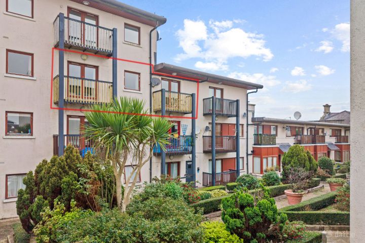
Apartment 24, Key West, Wexford Town, Co. Wexford, Y35CY84
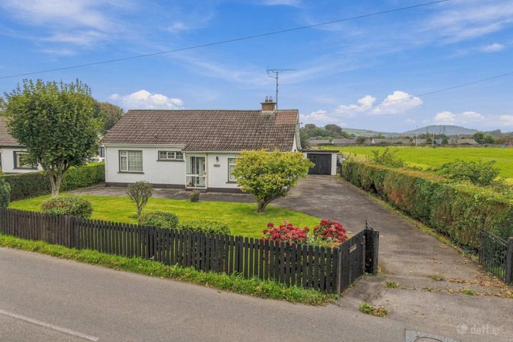
Cedarbrook, Ramsfort Park, Gorey, Co. Wexford, Y25X510
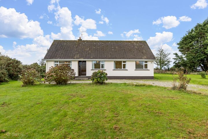
Crosshue, Blackwater, Co. Wexford, Y21 NW29
Frequently Asked Questions
Flood Map in Wexford: FAQs
What does a PropertyPack report cover for Wexford properties?
A PropertyPack report for any Wexford address covers 18 risk categories: flood risk (OPW data), radon levels (EPA data), BER ratings (SEAI), property prices (Property Price Register), crime statistics (CSO), school catchment, broadband speeds, planning applications, air quality, noise levels, and more. Each check runs for the Eircode you enter, with the data's confidence level labelled where a source is only published at county or division level.
How much does a property report for Wexford cost?
The full 18-check PDF report for any Wexford address costs €29. House-hunting across several properties? A 3-report bundle is €59 and a 5-report bundle is €79. You see a free snapshot first, no card needed.
Which areas of Wexford have the lowest property risk?
Risk levels vary across Wexford depending on which factor you're considering. Properties away from Slaney, Barrow and Suir flood plains have lower flood risk. For radon, 15.9% of homes tested in Wexford measured over the Reference Level. The EPA's map shows which areas are classified as High Radon Areas. Well-established residential areas in Wexford, Enniscorthy, New Ross tend to have better broadband, lower crime, and closer school access. PropertyPack helps you compare specific locations within Wexford across 18 risk categories.
Buying in Wexford? Take 10% Off
The full report checks the exact address: flood, radon, BER, planning and more, from €29. Drop your email and your 10% off code appears right here.
By subscribing you agree to receive marketing emails from PropertyPack.ie. No spam, unsubscribe anytime, we never share your email.
Explore More
More property reports.
Flood Map: Co. Wicklow
Flood Map for properties in Co. Wicklow
Flood Map: Co. Carlow
Flood Map for properties in Co. Carlow
Flood Map: Co. Kilkenny
Flood Map for properties in Co. Kilkenny
Property Valuation: Co. Wexford
Property Valuation for properties in Co. Wexford
Flood Risk: Co. Wexford
Flood Risk for properties in Co. Wexford
Radon Risk: Co. Wexford
Radon Risk for properties in Co. Wexford
Full Property Report: Co. Wexford
Comprehensive property report hub for Co. Wexford