
Planning Permissions: Kildare, Co. Kildare
10 official risk checks for any property in Co. Kildare. Trusted by home buyers across Leinster.
Check Any Kildare Property
Enter an Eircode, address, or paste a listing URL
Official data sourced from Irish government agencies


Planning in Co. Kildare, Leinster
Planning applications in Kildare are processed by Kildare County Council and shape the future character of every neighbourhood. Naas sees steady residential development, while rural Kildare processes agricultural buildings, one-off housing, and renewable energy applications. PropertyPack shows all recent and pending planning applications within radius of any Kildare Eircode.
location_onCo. Kildare at a Glance
- Population
- 247,000
- Province
- Leinster
- Coastline
- Inland county
- Character
- Mixed Urban / Rural
- Main Rivers
- Liffey, Barrow
Official Risk Checks
Government Data Sources
Average Report Time
Reports Generated
What We Check for Every Kildare Property
Every PropertyPack report covers 10 distinct risk categories, all aggregated from official Irish government data.
Plus more checks across insurance, neighbourhood, transport and more.
See Full Reportarrow_forward
Know the risks before you sign in Kildare
Discover the full picture of any Kildare property. Our reports combine data from 10 official sources to simplify your due diligence and protect your investment.
Explore a Sample Reportarrow_forwardProperties for Sale in Kildare
Latest properties on the market in Co. Kildare. Click “Check Risks” to run a PropertyPack report on any listing.
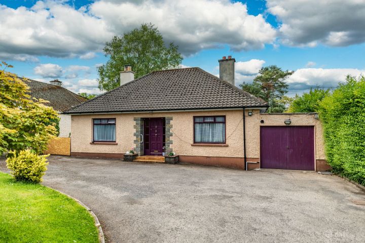
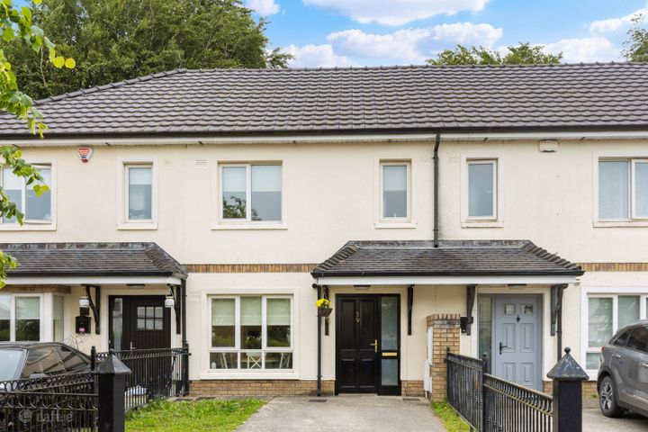
Tullyhaw, Kilcullen Road, Naas, Co. Kildare, W91R62H
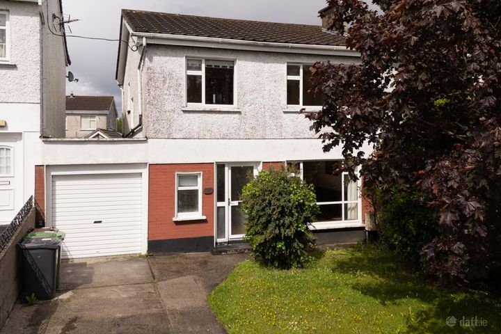
151 Moorefield Park, Newbridge, Newbridge, Co. Kildare, W12H...

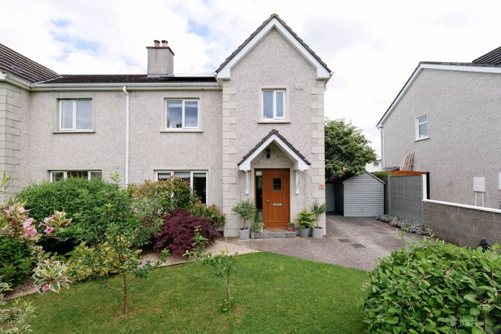
Hillview, Maddenstown, Co. Kildare, R56NA49
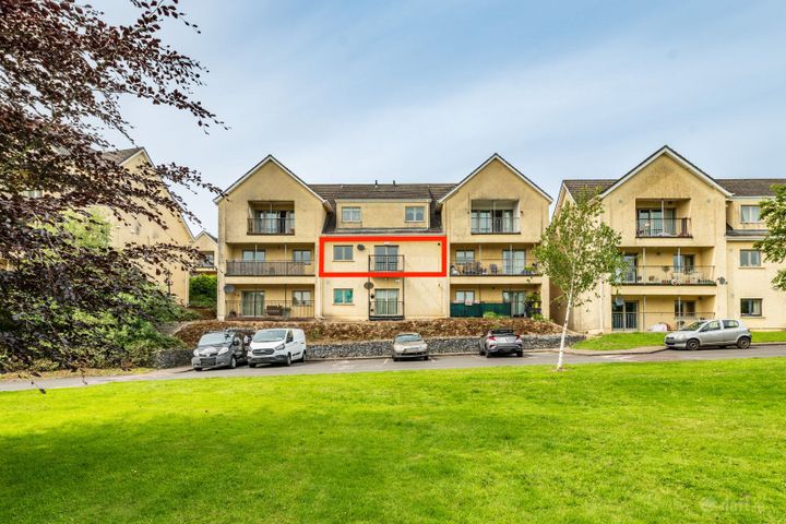
11 Rheban Avenue, Athy, Athy, Co. Kildare, R14V500
5 The Beeches, Priory Court, Kildare, Co. Kildare, R51AT18
29 Kilmalum Avenue, Blessington Manor, Blessington, Co. Kild...
What Our Customers Say
“We were about to put an offer on a house that turned out to have a medium flood risk rating. The PropertyPack report flagged it clearly. Best money we ever spent on the house hunt. It genuinely saved us from a costly mistake.”
Mark & Lisa Donovan
First-time buyers, Dublin
Planning in Kildare: FAQs
A PropertyPack report for any Kildare address covers 10 risk categories: flood risk (OPW data), radon levels (EPA data), BER ratings (SEAI), property prices (Property Price Register), crime statistics (CSO), school catchment, broadband speeds, planning applications, water quality, air quality, mica/pyrite risk, noise levels, and more. Every data point is specific to your exact Eircode.
PropertyPack reports for Kildare start from €29 for a standard report. Premium reports with additional detail and PDF download are also available. Each report covers 10 risk sections using official Irish government data sources.
PropertyPack sources planning data from official Irish government agencies. Planning data comes from Kildare County Council's planning register. All data is specific to your exact Eircode in Kildare.
Risk levels vary across Kildare depending on which factor you're considering. Properties away from Liffey and Barrow flood plains have lower flood risk. Radon risk is generally lower across most of the county. Well-established residential areas in Naas, Newbridge, Maynooth tend to have better broadband, lower crime, and closer school access. PropertyPack helps you compare specific locations within Kildare across 10 risk categories.
Get Free Kildare Property Alerts
We'll send you property risk insights, market updates, and a heads-up before our introductory €29 report price goes up.
No spam. Unsubscribe anytime. We never share your email.
More Property Reports
Planning in Neighbouring Counties
Check planning applications near any address in Kildare
Enter an Eircode or paste a listing URL to get a comprehensive 10-section property risk report for any property in Co. Kildare.